![]()
![]()
|
|
|
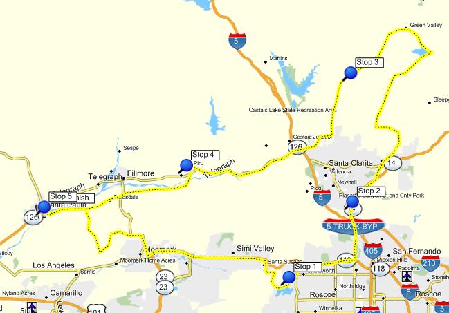
Oct 24, 2009 - SCMA Cemetery Tour It was looking like a great weekend for a ride, so I got out of bed (a little late) and headed to Santa Paula for the 2009 SCMA Cemetery Tour. The start was at Logsdon Cafe at the Santa Paula Airport. I arrived at 9:45, after getting gas at the east end of Santa Paula. As I was getting near the airport, I saw a group of riders heading out on their run. I checked in, got my materials, and sat down for some biscuits & gravy, using the meal coupon that came with the entry fee. I started my ride at 10:15. It was the usual route for the area - South
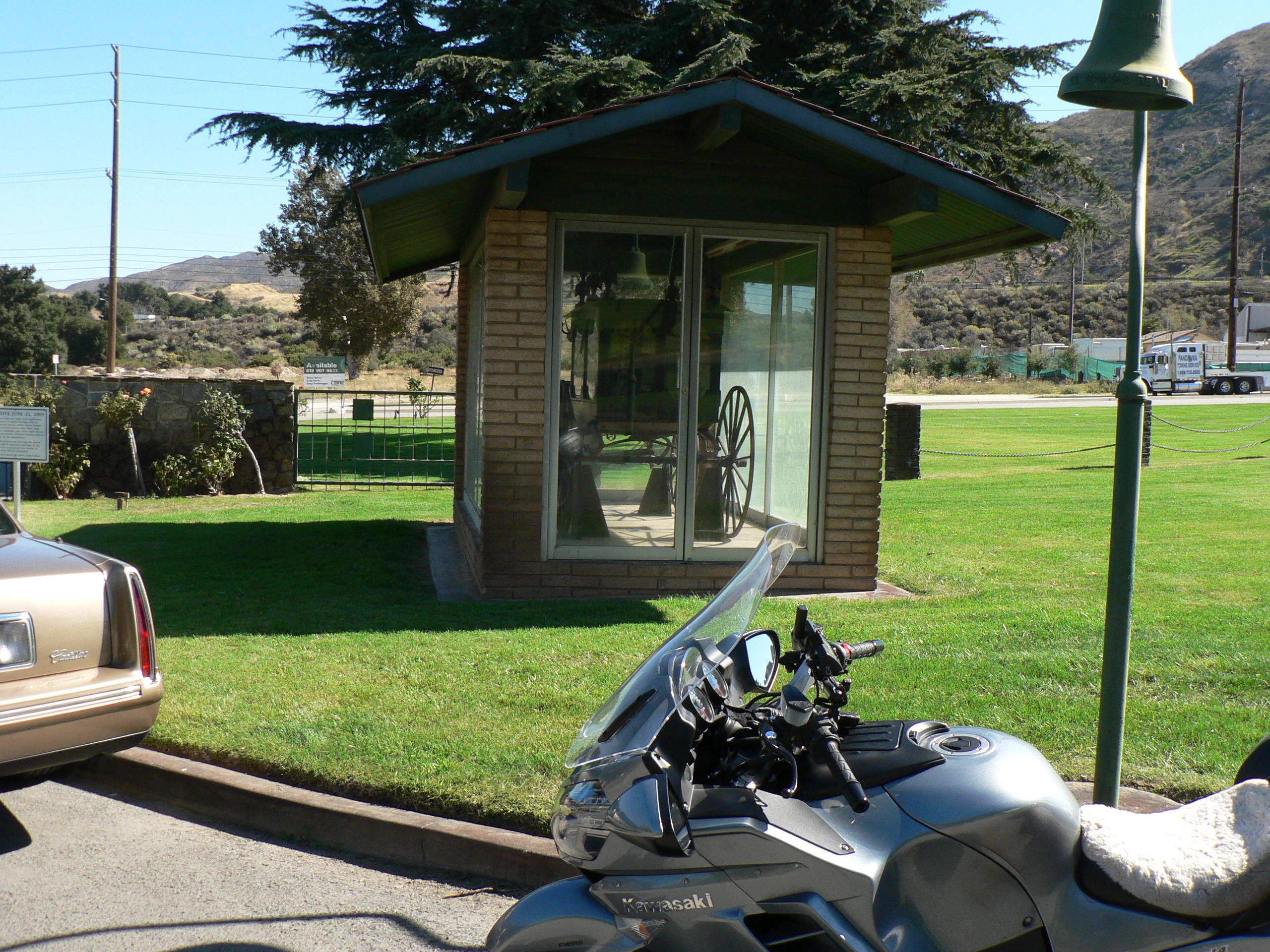
Mountain, Balcom Canyon The first stop was Oakwood Memorial Park. Many Hollywood celebrities are buried here. It is a beautiful setting at the foot of the Santa Susana Mountains. An old historic church from the early days of Chatsworth is also here. The cemetery relaxed its "no motorcycle" rules for today and allowed us to tour through. We had to answer a question about the old pioneer church. I caught up to the last group of riders at the church. Several other riders were congregated around Ginger Rogers' grave. You can find out more about the celebrities at the cemetery here: http://www.seeing-stars.com/Buried2/Oakwood.shtml. Next it was back to the 118 freeway, then Balboa to Sierra Highway and the Eternal Valley Cemetery in Newhall (part of Santa Clarita). At the entrance there is the last horse drawn hearse used in LA County. This cemetery also has both some pioneer history and Hollywood ties. You can read more here: http://www.the-signal.com/news/archive/11560/.
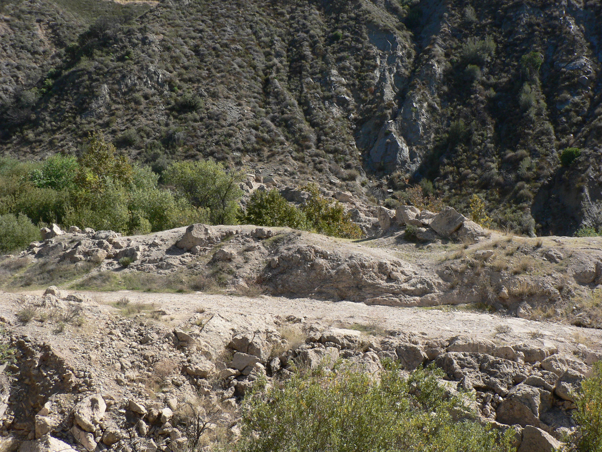
The tour continued down the canyon, eventually getting to CA-126 and the town of Piru. At the west end of Center Street is the Piru Cemetery. A number of victims from the St Francis Dam disaster are buried here, along with other pioneer Piru families. After the cemetery, the route avoided CA-126 to again go past fields and orange orchards to get to Santa Paula, following the path of destruction from the flood. A reminder of current hazards was along Guiberson road, were a 17,500 acre fire burned the hillside between Fillmore and Moorpark a month ago.
Finally it was back to the Logsdon Cafe for the end of the ride. I arrived a bit before 3:00. The tour's path is shown on the map. On the way home, I retraced some of my earlier path back to Simi Valley for a burger at the Habit along Tapo Canyon Road.
|