Day 14 - Friday, July 11, 2003
Alcoa, TN to Alpharetta, GA
242 miles for the day, 5,868 miles traveled so far.
5:02 in the saddle, 7:00 total time check-out to check-in.
Average speed while riding was 48.3 mph.
Parks visited this day:
Stamps: 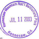

Daily Journal:
I left at 7:15. The skies were mostly clear. I
went to turn on the GPS, but now even with the bike power it was dead!
Bummed, I made my way down US-129 and headed for Deal's Gap. A little
while later I tried the GPS again and it came on. It did have a column of
pixels out. I must have gotten some water inside of it, because as I would
go around turns, the column of dead pixels would move. The Dragon was a
nice ride in Tennessee. Although the 35 mph speed limit could have been a
bit higher. Pavement was great. You did have to watch out for
organic debris washed onto the road by the storms last night. I only saw
one other motorcyclist this morning. He had stopped to remove a branch
lying in the road. 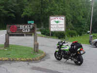 I
stopped and took a picture by the sign at the resort. Soon I was heading
down the North Carolina side. This was a fun ride. There were some
ripples in the pavement in North Carolina that went parallel to the direction of
travel. They did make side-to-side movement in the lane a bit tricky at
times. I picked up US-19, and then US-64, NC-160, GA-60, GA-160, and
finally US-76. In Blue Ridge, GA, it started to drizzle again, so I put
the rain cover on over the bag. I continued on GA-5 to I-575, stopping at
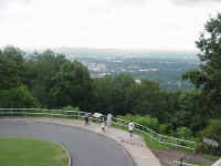
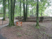 Kennesaw
Mountain NBP. The two pictures on the left are from Kennesaw
Mountain. The leftmost is a shot looking towards Atlanta, and the other
one shows some earthworks and cannon.
From Kennesaw, I went on city streets to the Chattahoochee
River NRA VC at Island Ford near Roswell. I had to go around in circles to
find it, there weren't the usual road signs pointing the way. And the
street signs were poorly placed, so navigation was tricky. Traffic, even
at 1:00 in the afternoon, was really thick in places.
After Chattahoochee, I went north to Alpharetta to stay at
an uncle's place. I arrived at 2:00, just as some drops of rain were
starting to fall. I took the GPS apart and used a blow dryer to dry it
out.
Map: 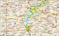 (the route for the day is in blue)
Back to Day 13
On to Day 15