Day 17 - Monday, July 14, 2003
Darien, GA to Crestview, FL
454 miles for the day, 6,692 miles traveled so far.
6:44 in the saddle, 9:00 total time check-out to check-in.
Average speed while riding was 67.3 mph.
Parks visited this day:
Stamps: 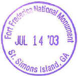
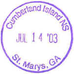
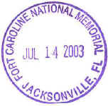
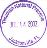
Daily Journal:
On the weather channel Hurricane Claudette was about to
hit Texas. I would be possibly hitting some of the rain kicked up by the
hurricane, as the storm swirls around. Claudette was moving westward and
should keep moving that way until it dies out. Looks like I'll be riding
its tail all of the way home.
Since I was so close to St. Simons Island, I slept in and
didn't leave until 8:30. I made my way to the Torras Causeway to get to
the Island. I had a dollar bill ready for the toll, but I accidentally got
into a change only lane. So I just went through. No alarms sounded,
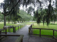
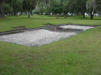
I think I missed the sensors on the ground. Fort Frederica NM is on the
island. It is a colonial era fort and town, founded in 1736. In 1742
the Spanish tried to invade the fort, but were turned back. In the 1750's
the town was abandoned for the mainland All that remain are the
foundations. These two pictures were taken at Fort Frederica.
I returned back over the causeway, and took US-17 south to
I-95. I exited I-95 at GA-40 and took this east to it's end in St. Marys.
Here is the VC for the Cumberland Islands NS. Quaint little town. I
wanted to make my way to Jacksonville and start heading westward, so I didn't
spend much time here. So it was back to I-95, into Florida and then to
Jacksonville. East of town there is 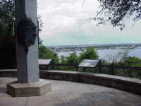 Fort
Caroline NM. It was founded by the French in 1564. The Spanish did
not like the French presence in Florida, so they kicked the French out in
1565. The French retaliated in 1568, burning the fort, but then they
left. The monument is within the Timucuan National Preserve. The Timucuan were the local Indians when the Fort was founded. The column is a
replica of the one placed by the French explorer Jean Ribault in 1564 near the
mouth of the river. I wandered the trails for a little bit until the mosquitoes
drove me away.
I went right through downtown Jacksonville and got onto
I-10 heading west. All I needed to do was to follow I-10 all of the way to
LA. About 10 minutes west of Jacksonville, I ran into a heavy
downpour. It was so bad, even the cages were slamming on the brakes
because no one could see. A few slipped off of the road. I made my
way to the next exit and found refuge in a gas station. I didn't have any
rain gear on. Luckily, the bag was mostly dry. I put the cover on
and waited for about 45 minutes until the rain let up a bit. I then
continued west. I would hit showers for the rest of the day.
Just west of Tallahassee, I crossed into Central
time. Wow, finally the time zones are in my favor. I could push on
for an extra hour, now. I stopped in Crestview at 4:30. The next
stamp site would close at 5:00, and I was just over 30 minutes away. I
also was tired of the rain, so it was time to relax. I walked to the
nearby Cracker Barrel for dinner.
Map: 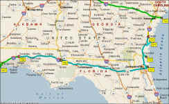
Back to Day 16
On to Day 18