Day 2 - Sunday, June 29, 2003
Winter Park, CO to Hot Springs, SD
541 miles for the day, 1,579 miles traveled so far.
9:07 in the saddle, 11:30 total time check-out to check-in.
Average speed while riding was 59.4 mph.
Parks visited this day:
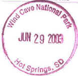
Stamps: 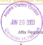
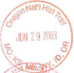
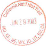
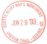
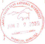
Daily Journal:
Left the motel at 8:00. I headed on up to Rocky
Mountain NP. Flashed the parks pass at the entrance station, and then
continued on into the park. The road winds along the headwaters of the
Colorado River. It then turns to the east and switchbacks up to the
pass. At the top, at 11,800' asl, there is a visitor station. You are
in an alpine zone. There was still quite a bit of snow in places.
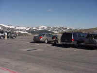
The first photo below was taken at the Alpine Visitor Center. The center
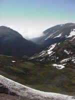
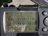
picture is looking east, towards Estes Park. The third is a shot of my GPS
showing the elevation.
I continued eastward on the highway. Some elk were
grazing nearby, causing a minor traffic jam. I continued downhill,
plunging into and through the clouds. Eventually I hit I-25 and turned
north. Near Cheyenne, I was traveling through some light drizzle.
North of Cheyenne, the interstate is pretty desolate. Rolling hills of
grassland with cattle and an occasional exit with a house. North of
Wheatland, I got off the freeway and headed east on US-26, taking a short side
stop in Guernsey to view some ruts on the Oregon Trail. Many pioneers
following the various trails westward came through here. US-26 parallels
the N. Platte River. After a few more miles, I stopped at Fort
Laramie. The site was originally a fur trading post in 1834. In 1849
the US Army took over and expanded the post. In 1890 the Army abandoned
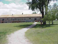
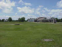
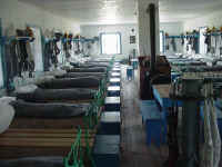
the site. The photos are of the visitor's center, which was a storehouse,
the parade grounds, and a view of some barracks.
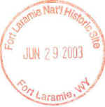
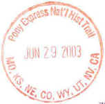
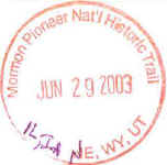
The stamps for the four National Historic Trails that are
on this page came from Fort Laramie. As you went down US-26, sign would
indicate that you were on the auto tour route for those 4 trails. About 30
miles after crossing into Nebraska, I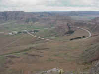 stopped at Scotts Bluff NM. I did hit some wet roads, but luckily no rain,
since my bag was still too full for the rain cover to fit. I did read some
of the magazines, but I hadn't shed any tourbooks or maps, yet. This was an important landmark for the people
on the trails, indicating the end of the Great Plain and the start of the
mountains. It also marked where Mitchell Pass was, since the swampy North
Platte River was impassable in this region. Coming to Scotts Bluff, I stayed
on US-26 to the town of Scottsbluff, and then circled south and approached the
NM from the east, like a pioneering heading to Oregon would have done. The
CCC built a road and a hiking trail to the summit. Both are about 1 1/2
miles long. The road passes through 3 tunnels, and the trail goes through
one tunnel. The photo is from the top, looking south at the visitor's
center complex. One of the auto tunnels can be seen. The road
running east-west in front of the VC is SR-92. If you follow the hight to
the right, it disappears as it goes through Mitchell Pass.
It was 3:15 in the afternoon when I left Scotts Bluff NM,
heading west on SR-92, then north on SR-29, eventually reaching US-26 in
Mitchell. I was nearly out of gas, so I went looking for a gas
station. The first 3 I found were closed on Sundays. I finally found
one which was open 24 hours (the only one with pay-at-the-pump). I
retraced my path back to SR-29 and continued north. I stopped at
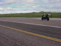 Agate
Fossil Beds NM. The picture is of one of the hills where the fossils are
found. This park had an interesting history. James Cook owned the
ranch there and had good relations with the local tribes. He helped the
Indians out many times and they honored him with many gifts. The
collection is on display at the VC. A large bed of fossils from 19-20
million years ago were found here. The major bed was excavated in the
early 1900's by paleontologists from Carnegie Museum in Pittsburgh.
It was 5:00 when I stopped along US-20 and called the
Super 8 Hotline to get a reservation for the night. For this trip, when I
wasn't staying with friends or relatives, I used Super 8 motels. This was
mostly because it was one easy number to call (1-800-800-8000) and use my VIP
Club card to secure a room. I didn't have to call around to find a
room. I orignally was trying for Custer, SD, bu I had to settle for Hot
Springs, SD, about 30 miles south of Custer. I went east on US-20 and then
north on US-385 to Hot Springs. I first arrived in Hot Springs at 6:30, so
I continued north to catch Wind Cave NP before it closed at 7:00. I had
about 10 minutes to look around the VC before I was kicked out. More than
100 miles of this cave's passageways have been explored. On the way back
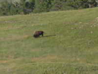
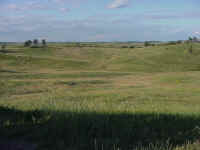
to town, I took some pictures on the grasslands in the NP and of the herd of
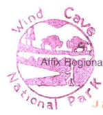
buffalo that lives there. The extra stamp is also from Wind Cave NP.
I checked in at about 7:30, cleaned up and went to
dinner. Sunset wasn't going to be until 9:00, so it was still quite bright
outside. I had a steak and salad bar at a small restaurant on the edge of
town.
Map: 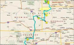
Back to Day 1
On to Day 3